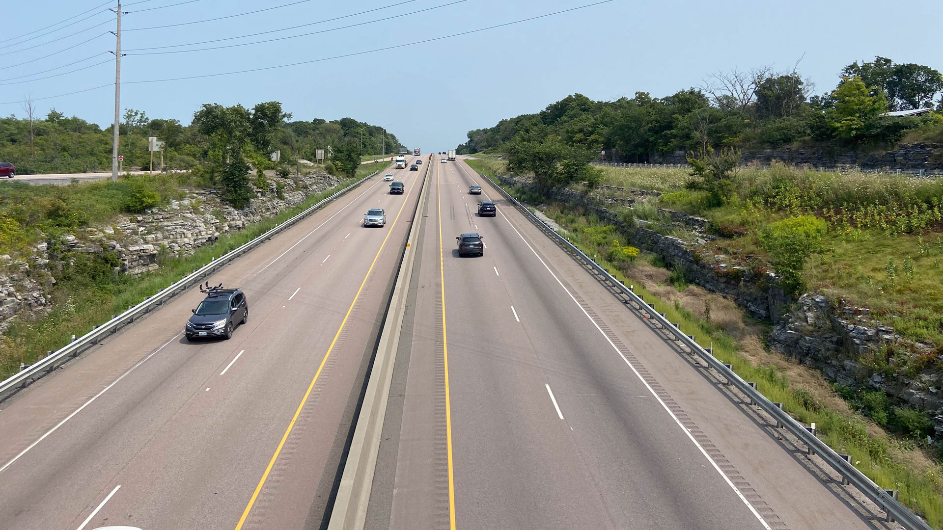
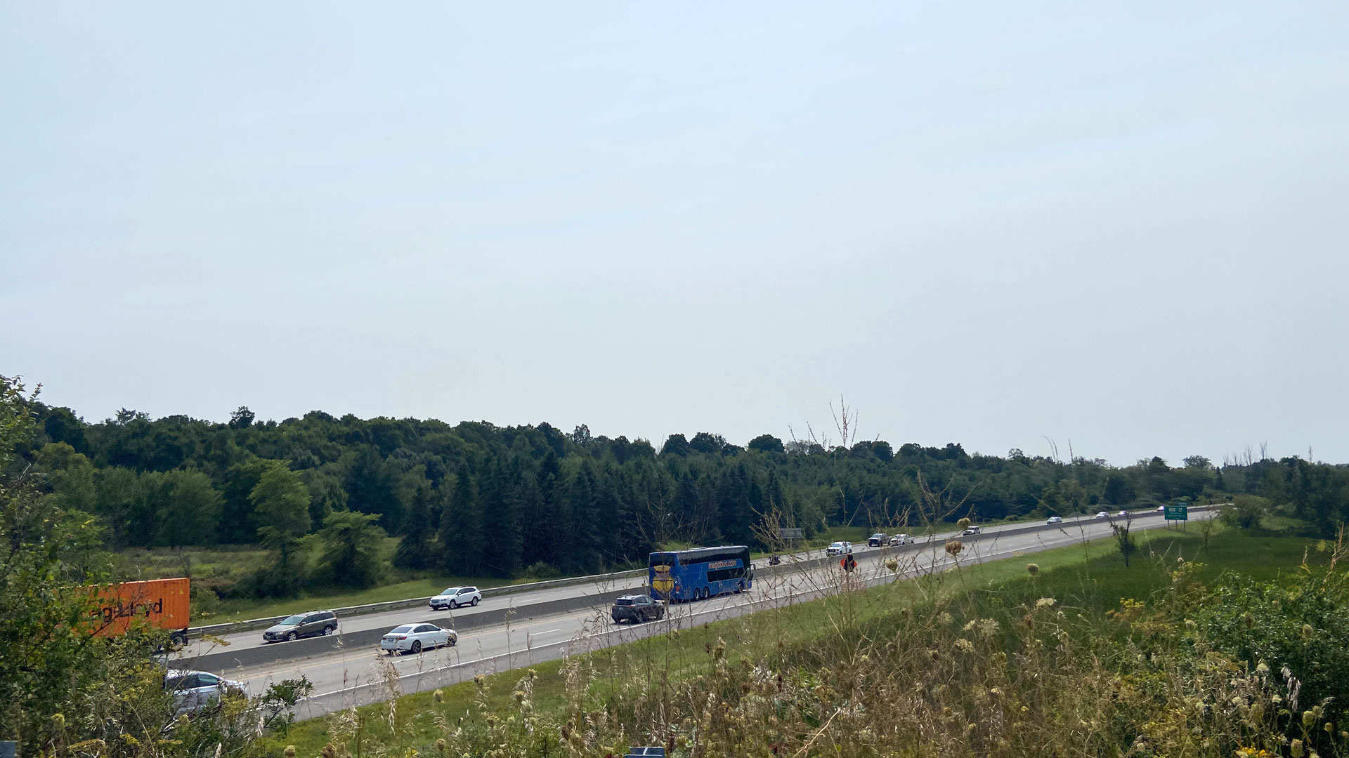
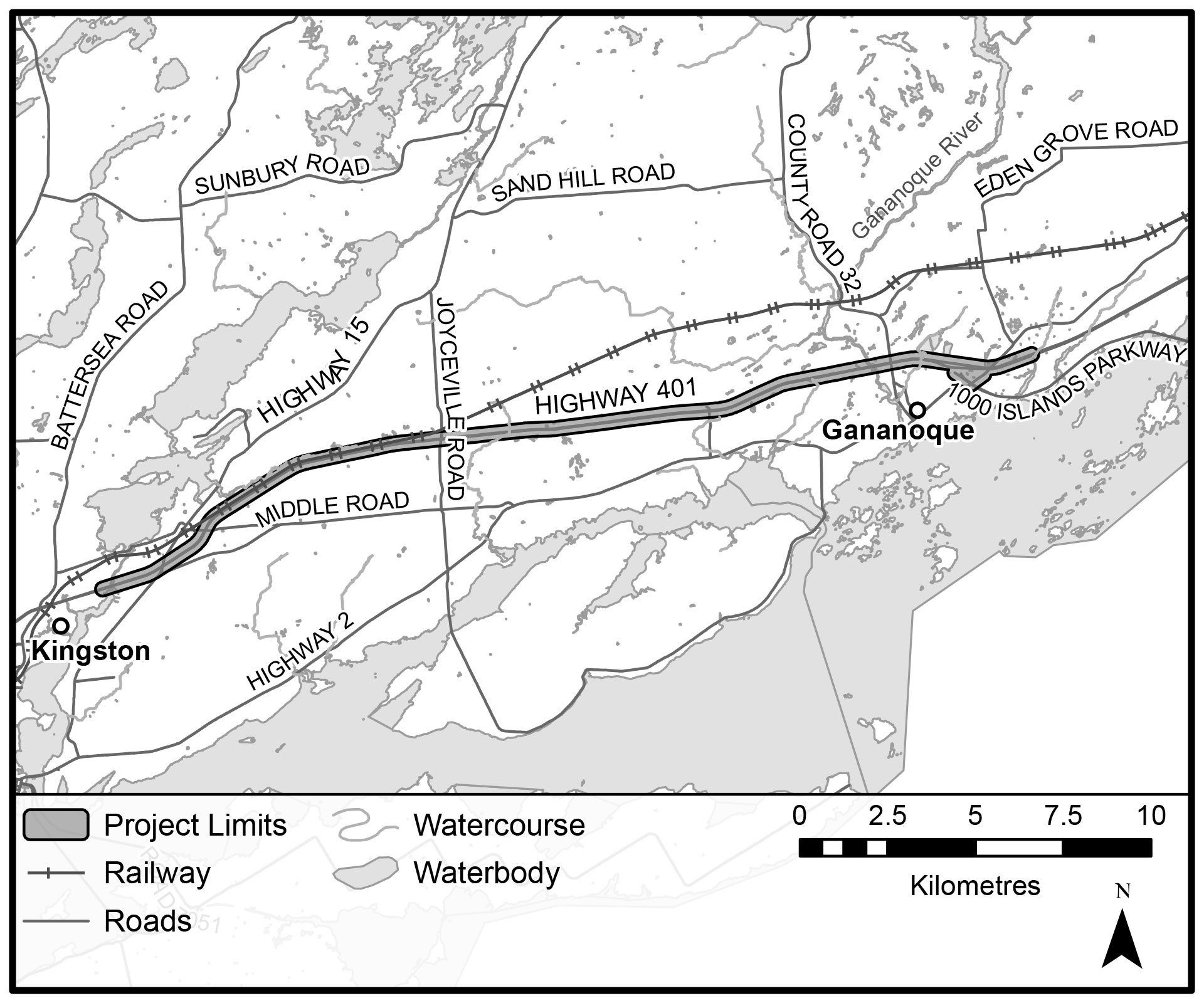
The Ontario Ministry of Transportation has retained AECOM Canada ULC to conduct a Preliminary Design and Class Environmental Assessment Study focusing on the replacement and rehabilitation of structures, interchange modifications and establishing the footprint of Highway 401 for future six and eight lanes, from 1 km west of Highway 15 to 1 km east of Highway 2/King Street. The purpose of the Study is to identify a Recommended Plan that addresses current and future transportation needs in the Study area as part of the Ministry’s ongoing review of safety and operational needs for the provincial highway network. The Study area covers the City of Kingston, Town of Gananoque, the United Counties of Leeds and Grenville, and Frontenac County.
We are evaluating interchange upgrades and reconfigurations to meet future traffic demands and current geometric standards, including:
- Highway 401/Highway 15
- Highway 401/Joyceville Road
- Highway 401/County Road 32
- Highway 401/Highway 2
- Thousand Islands Parkway/Highway 2


Other key Project components include:
- Conducting existing conditions review and field investigations to support the development of alternatives, impact assessment, and development of preliminary mitigation strategies
- Performing traffic analysis for current and future corridor operations, with focus on 6 and 8-lane scenarios, interchange alternatives, and construction staging needs
- Assessing structural integrity of bridges and culverts, with recommendations for replacement or rehabilitation
- Evaluating drainage, hydrology, and stormwater management needs to support proposed improvements and address existing deficiencies
- Reviewing electrical systems, including illumination upgrades, traffic signal modifications, and commuter parking lot requirements
- Conducting foundations and pavement engineering work to support preliminary design
- Developing a construction sequencing strategy and preliminary staging plan for the corridor
The details of the proposed work will be further developed as the Preliminary Design progresses and will be presented to Indigenous communities, the public, and other stakeholders during two rounds of Public Information Centres.
Sign-up for our mailing list
We want to hear from you! Your input is important to us. To be added to the Project Mailing List, please enter your email to sign-up for our mailing list. To send your comments to the Project Team please visit the Contact Us section of this website.
